A team of researchers at the Ocean University of China has developed and tested a mobile lidar (Light Detection and Ranging) station that can accurately measure wind speed and direction over large areas in real time -- an application useful for aviation safety, weather forecasting and sports.
The mobile lidar station can measure wind fields more accurately, which could help world-class athletes compete in international competitions, such as the Olympics. Ocean University is in Qingdao, which is hosting the sailing competitions of the XXIX Olympic Games and the Beijing 2008 Paralympic Games, and this technique is being tested in conjunction with the event.
"Wind is non-uniform even in a small sailing field," says Professor Zhi-Shen Liu of the Key Laboratory of Ocean Remote Sensing, Ministry of Education of China, Ocean University of China, who led the research. "Athletes could maximize their performances if they have the most accurate information to help them capture the wind."
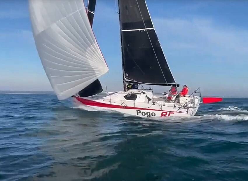
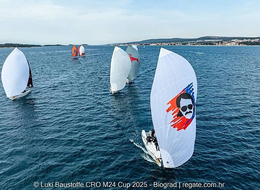
In Olympic sailing, individual competitors or teams of athletes sail various classes of sailboats in timed trials over a single course. The contest requires them to navigate upwind, downwind and everything in between. Their final time depends on numerous factors, including the boat design, the skill of the sailors, course difficulty and ocean currents. Perhaps the most important factor, though, is how well the athletes can harness the wind that fills their sails.
Because wind constantly changes speed and direction, athletes and coaches hope to have the best information at the start of a run. On cloudy, rainy days, the standard meteorological tool of Doppler radar can accurately provide wind field information. When no clouds are present, however, Doppler radar is ineffective. The best wind data on clear days comes from ocean buoys and land stations that use wind cups and ultrasonic anemometers to measure wind speed.
In the Qingdao sailing area, where this summer´s competitions will take place, only four buoys, one boat and one tower are available to measure sea surface winds within a competition area of approximately 10 square kilometers.
Liu and his lidar group, composed of research scientists and graduate students, have been working with an optical remote sensing technology called Doppler lidar, which they are applying for weather and environmental research. Lidar works by scattering laser beams off atmospheric aerosols or molecules. Doppler lidar takes advantage of the fact that when these aerosols or molecules are moving in the wind, the scattered laser light changes frequency -- the same way an approaching car has a higher pitched sound than a car driving away.
The advantage of Doppler lidar, says Liu, is that it can quickly sample a large area, providing a much finer map of winds than buoys alone. He and his group have developed a lidar bus, which can move equipment to the experiment field conveniently.
Last year, they successfully tested their new bus at the 2007 Qingdao International Regatta sailing event. They moved the bus to the seashore near the sailing field, and made a horizontal scan over the sea surface, making the measurement in real time and then uploading the data to the local meteorological station every 10 minutes. They envision a similar effort in the upcoming Olympic and Paralympic games.
The research was funded by the National Natural Science Foundation of China, the Key Laboratory of Ocean Remote Sensing, the Ministry of Education of China and the China Meteorological Administration (CMA). (www.sciencedaily.com)
Related articles

Glomex satellite TV antenna
Glomex satellite TV antennas are developed to offer the perfect solution for receiving all FULL HD and 4K channels and ensuring high performance standards of signal reception


